
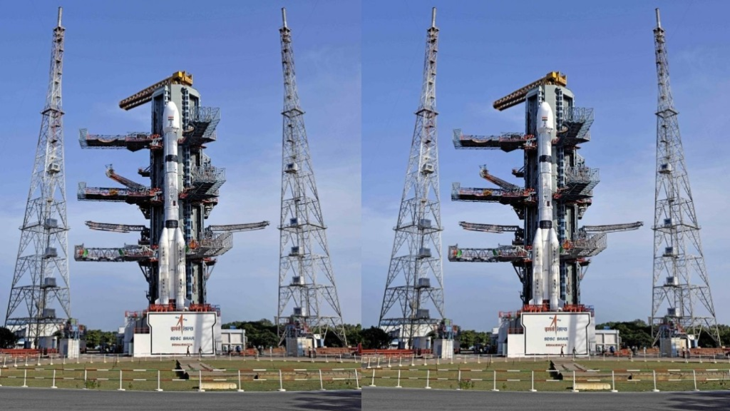
In the early hours of September 4, 2026, the quiet coast of Sriharikota lit up as the Indian Space Research Organisation (ISRO’s) launched its GSLV-F17 mission. Pushing through a light drizzle, the rocket carried the EOS-05—India’s first dedicated Earth observation satellite designed to operate from geosynchronous orbit—and successfully placed it into a sub-Geosynchronous Transfer Orbit (sub-GTO).
For space enthusiasts, policymakers, and industry observers, this launch represents far more than a routine addition to India’s satellite fleet. It marks a critical operational reset for ISRO, a technical victory over past vehicle difficulties, and a massive evolution in how the nation monitors weather phenomena, responds to natural disasters, and maintains continuous situational awareness over its borders in real time.
1. What is the EOS-05 Mission?
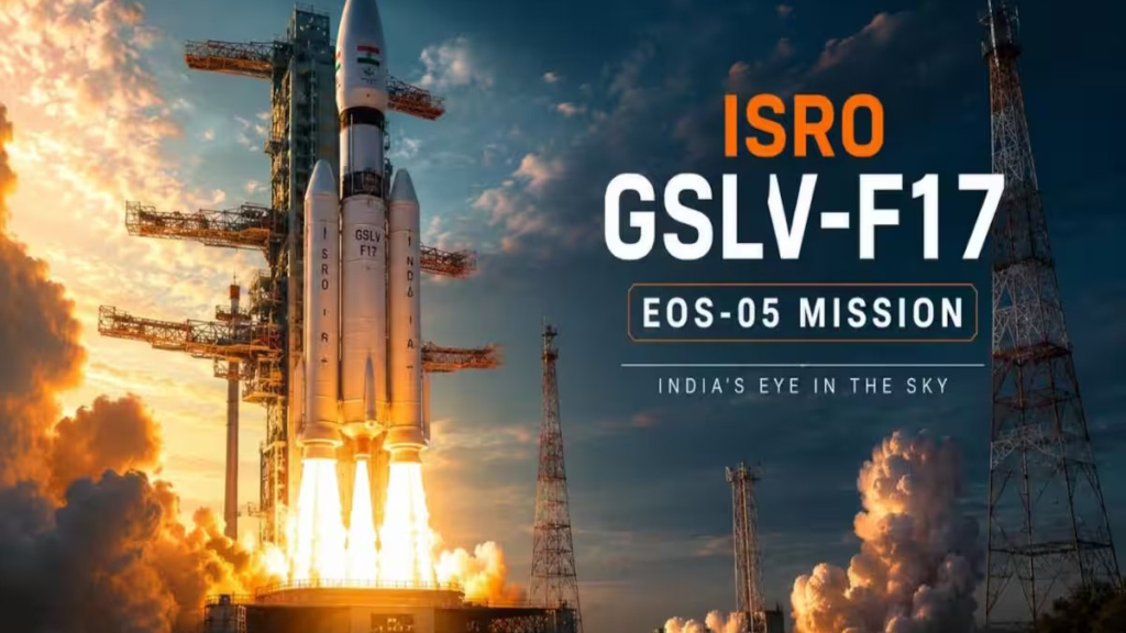
EOS-05 is a state-of-the-art Earth observation spacecraft weighing approximately 2,367 kg, making it the heaviest payload ever injected into a sub-Geosynchronous Transfer Orbit by the GSLV Mark II launcher.
Unlike standard Earth observation satellites that circle the globe in Low Earth Orbit (LEO) at altitudes between 500 km and 800 km, EOS-05 is destined for a permanent orbital station roughly 36,000 km above the Earth. Parked over the South Asian landmass at an inclination of 19.28 degrees to the equator, the satellite matches the rotational speed of the planet.
Earth → Sub-GTO [GSLV-F17 Injection] → Geosynchronous Orbit [~36,000 km] → Final Stationing
By matching Earth’s rotation, EOS-05 functions as a persistent “Eye in the Sky,” maintaining continuous, non-stop coverage over the Indian subcontinent and adjacent oceanic regions.
Key Mission Specifications
| Mission Parameter | Technical Specification |
| Satellite Lift-off Weight | 2,367 kg (Heaviest payload for GSLV Mark II) |
| Target Operational Altitude | ~36,000 km (Geosynchronous Orbit) |
| Launch Vehicle | GSLV-F17 (19th flight of the GSLV program) |
| Launch Site | Satish Dhawan Space Centre (SDSC) SHAR, Sriharikota |
| Design Mission Life | 7 years assured (Expected to exceed 9 years) |
| Imaging Cadence | Selected priority zones every 5 mins; Full landmass every 30 mins |
| Primary Payloads | Advanced Multi-Spectral and Hyper-Spectral Optical Imagers |
2. Why Geosynchronous Orbit Changes the Game
To understand why EOS-05 is revolutionary for Indian space applications, one must look at orbital mechanics. Most traditional Earth observation satellites operate in Sun-Synchronous Low Earth Orbits (SSO/LEO). While LEO satellites fly closer to Earth—enabling them to take ultra-high-resolution pictures—they travel at high speeds relative to the surface. A typical LEO satellite passes over a specific coordinate on Earth once every few days or weeks.
If a flash flood hits a mountain valley, a cyclone develops in the Bay of Bengal, or a rapid forest fire spreads across a dry woodland, a LEO satellite might be on the opposite side of the globe when critical data is needed most.
ORBIT COMPARISON
● LEO Satellite (~500–800 km)
- High-resolution imaging
- Limited coverage at a given location
- Revisits the same area periodically
● Geosynchronous EOS-05 (~36,000 km)
- Fixed position relative to Earth
- Wide-area coverage
- Frequent monitoring and near-real-time updates
EOS-05 eliminates these coverage gaps:
- High-Frequency Refresh Rates:
EOS-05 can snap multi-spectral and hyper-spectral images of specific areas every 5 minutes, while scanning the entire Indian landmass every 30 minutes. - Continuous Event Tracking:
Dynamic weather patterns, rapid cloudbursts, severe thunder-storms, and localized agricultural changes can be tracked continuously as they unfold. - A Complementary Satellite Architecture:
EOS-05 works alongside existing LEO satellites. EOS-05 acts as a wide-area, wide-angle scout detecting rapid changes, allowing ground controllers to queue high-resolution LEO satellites to focus precisely on affected areas.
3. The Rocket Behind the Launch: GSLV-F17
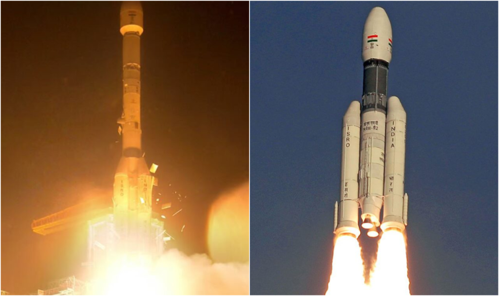
The success of EOS-05 is as much a story about the launcher as it is about the payload. Standing 51.7 metres tall with a total lift-off mass of 420.5 tonnes, the GSLV-F17 is a three-stage rocket configured as follows:
GSLV-F17 Rocket Architecture
• Payload Fairing (4m Composite) → Encapsulates EOS-05 (2,367 kg)
• Stage 3: CUS15 Cryogenic Engine → Indigenous Liquid H2 / Liquid O2 Engine
• Stage 2: Liquid Propellant → High-Thrust Earth-Storable Liquid Engine
• Stage 1 : Solid Core + Strap-ons → S139 Solid Motor + 4 Liquid Strap-on Boosters
- First Stage (GS1): A central solid core motor (S139) augmented by four liquid strap-on boosters (L40) providing initial high-thrust liftoff power.
- Second Stage (GS2): A high-thrust, earth-storable liquid propellant engine stage.
- Third Stage (CUS15): The indigenous Cryogenic Upper Stage, fueled by super-cooled liquid hydrogen and liquid oxygen, which provides the high specific impulse needed for high-altitude orbital insertions.
From “Naughty Boy” to Operational Workhorse
Historically, the GSLV earned an informal, unflattering moniker within the engineering community—the “Naughty Boy”—due to early developmental troubles with cryogenic propulsion systems. Notably, in August 2021, the GSLV-F10 mission carrying EOS-03 suffered an anomaly during cryogenic stage ignition, leading to the loss of the mission.
On the GSLV-F17 flight, the vehicle delivered the 2,367 kg satellite into an orbit superior to original predictions, achieving an injection apogee of approximately 31,000 km against a target of 30,000 km. This performance demonstrates that ISRO’s indigenous cryogenic engine technology has reached operational maturity.
From “Naughty Boy” to Operational Workhorse
The ultimate goal of EOS-05 is to convert raw space imagery into actionable intelligence for decision-makers on the ground. Equipped with multi-spectral and hyper-spectral imaging channels, the satellite’s primary operational domains include:
- Disaster Response & Management: Providing continuous tracking of tropical cyclones, rapid assessments of flash-flood inundations, real-time monitoring of cloudburst conditions, and early detection of wildfires.
- Agriculture & Environmental Health: Tracking crop growth cycles, assessing soil moisture levels, and monitoring water reservoir levels across crop cycles to inform national agriculture policy.
- Border & Maritime Domain Awareness: ISRO Chairman V. Narayanan explicitly noted that EOS-05 will supply vital “strategic data.” Holding a stationary vantage point 36,000 km above the region allows continuous monitoring of land borders and surrounding ocean zones.
5. Overcoming Recent Setbacks: A Vital Reset for ISRO
The success of the GSLV-F17 mission provides a major operational boost for ISRO following a difficult 12-month period marked by unexpected launcher anomalies.
ISRO Mission Trajectory 2025–2026
• May 2025 — PSLV-C61 / EOS-09Mission setback
• January 2026 — PSLV-C62 / EOS-N1
Mission setback
• September 2026 — GSLV-F17 / EOS-05
Mission success
Successful comeback
Prior to this mission, ISRO suffered setbacks during the PSLV-C61 mission in May 2025, an orbit-raising thruster anomaly on the NVS-02 navigation satellite in early 2025, and the PSLV-C62 mission failure in January 2026.
By executing a flawless pre-dawn launch with GSLV-F17, ISRO broke an eight-month launch drought, validated its technical corrective measures, and restored launch momentum for its upcoming mission manifest.
6. What Lies Ahead: Gaganyaan and Private Industry Opportunities
With EOS-05 successfully carrying out orbit-raising maneuvers toward its final station, ISRO is pivoting toward its next strategic priorities.
The Next Frontier: Gaganyaan 2026
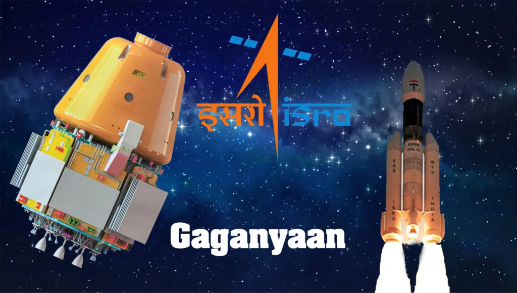
Following the launch, ISRO leadership confirmed that intensive preparations are underway for the first uncrewed Gaganyaan flight before the end of 2026. This mission will be the first of three uncrewed orbital tests designed to qualify the human-rated LVM3 launch vehicle, life-support hardware, crew module systems, and recovery protocols before Indian astronauts are launched into space.
Catalysts for the Space Tech Ecosystem
The continuous stream of data generated by EOS-05 creates immediate commercial opportunities for India’s emerging commercial space ecosystem:
- Downstream Data Analytics: Private geospatial companies and startups can leverage the high-frequency image feed to train machine-learning models for predictive land use, atmospheric modeling, and urban planning.
- Commercial Enterprise Integration: High-refresh satellite data enables automated alerts for logistics networks, insurance companies conducting crop damage assessments, and infrastructure developers monitoring large project sites.
- Investor Confidence: Demonstrating repeatable success with heavy-class orbital launchers strengthens the investment climate for private capital entering India’s space technology sector.
With six additional launches scheduled for the current fiscal year—including the NVS-03 navigation satellite—the deployment of EOS-05 stands as a key milestone in India’s space capabilities.
FAQ’S
Smart Shopping Ideas for Better Deals and Everyday Savings
Look, let’s stop playing around with fancy headers, corporate blog structures, and robot transitions. Smart…
Useful Tech & Gadgets You’ll Want to Try in 2026
Let’s be completely real for a second. If you look at tech magazines, gadget review…

Simple Smart Living Ideas to Make Everyday Life Easier
Life does not always have to be complicated. Sometimes, a few small changes in the…

Helpful Digital Life Tips for Modern Everyday Living
Technology has quietly become part of our everyday routine. Digital Life We use our phones…

Fun Experiences and New Adventures Worth Trying in 2026
Sometimes, life starts feeling a little too predictable. We wake up, Experiences go to work…

Simple Style & Wellness Tips to Upgrade Your Everyday Lifestyle
Let’s stop rushing for just a single second. Seriously. Style & Wellness Put your phone…